
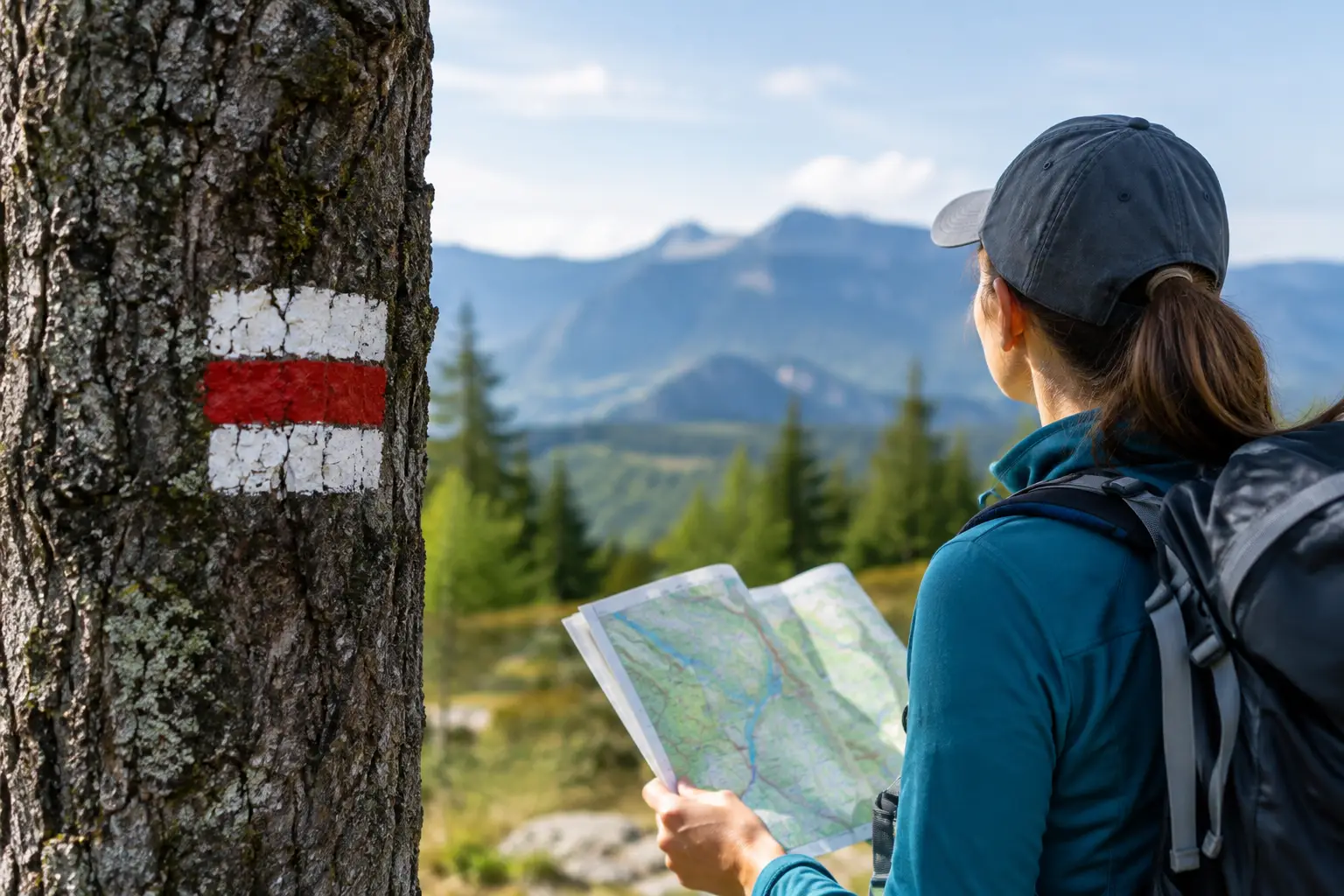
The sun is slipping behind the ridge. Your group reaches a fork in the trail, and someone points at a faded paint mark on a tree. Another person notices a stack of rocks leading uphill. Which clue do you trust? Learning to read trail markers is one of the most useful skills a Junior Investigator can carry into the wilderness. It can also keep a promising adventure from becoming an anxious wrong turn.
Trail markers are not secret codes left by treasure hunters, at least not usually. They are practical signs created by park staff, trail crews, land managers, and hikers to help people follow a route. But in the desert, mountains, and old mining country, clues can be faded, missing, misleading, or placed by someone who did not understand the trail. That is where careful observation matters.
Read Trail Markers Like an Investigator
A good investigator never builds a whole theory from one clue. The same rule applies outdoors. A painted blaze, a wooden post, or a small arrow can be helpful, but it should match what you see on your map, your trail description, and the land around you.
Before a hike, find out who manages the area. A national park, state park, national forest, county preserve, or local trail system may use different signs. Some trails have bright-colored posts with names and numbers. Others use painted blazes on trees. In rocky Arizona terrain, where there may be few trees at all, you might see rock cairns, metal posts, or small signs at intersections.
The color itself does not always tell a universal story. A blue blaze does not mean the same thing everywhere. A yellow marker may identify a particular trail in one park and mean nothing special in another. Read the trail map or posted information for that location before deciding what a color means.
Think of markers as a sentence rather than a single word. One sign says, “You are here.” The next says, “Keep going this way.” Your map says whether that direction leads toward your destination. When all three agree, you have a much stronger answer.
The Trail Markers You May See
Blazes on trees and rocks
A blaze is a painted shape, often a rectangle, on a tree or rock. It is common in wooded regions where the trail can disappear under leaves, brush, or snow. One blaze usually means you are on the correct route. At a turn, some trail systems use a second mark offset to one side to show the direction of the turn.
Do not assume every painted mark is official. Old paint can remain years after a route changes. Graffiti can look confusingly official from a distance. An official blaze tends to appear again farther along the trail, in a consistent shape and color. Random paint does not tell a reliable story.
Posts, signs, and route numbers
At a junction, a post may show trail names, arrows, distances, or route numbers. This is the clearest kind of marker, but it still deserves a second look. Check the arrow carefully. A sign might point toward a destination that is several miles away, not necessarily the next landmark you expected.
If a sign has a trail number, compare it with your map. Numbers are especially useful when several routes share part of the same path. A trail called “Canyon Loop” may sound exciting, but Trail 52 is less likely to be confused with another Canyon Loop somewhere nearby.
Cairns in rocky country
A cairn is a deliberate stack of stones. In places with bare rock, they can help hikers follow a route where no dirt path is visible. They are common in desert and mountain landscapes, including terrain that can look like the setting of a Lost Dutchman mystery.
But cairns require extra caution. Some are official. Others are built by well-meaning visitors, children, or people who simply liked stacking rocks. A lone cairn is not enough proof that you are on the right route. Look ahead for another cairn, look back to see whether the line continues, and compare your surroundings with your map. Never add rocks to a cairn unless the land manager specifically asks hikers to maintain them. Moving stones can confuse the next person and disturb small creatures that shelter underneath.
Reassurance markers
The most comforting marker is often the one you see after a confusing stretch. A reassurance marker confirms that you made the correct turn. If you have walked much farther than expected without seeing one, stop before pressing deeper into the unknown.
Stopping is not failing. It is what smart explorers do when the evidence stops matching the plan.
What to Do at a Trail Junction
Junctions are where mistakes multiply. One wrong turn can lead to another, especially if everyone in the group assumes someone else is keeping track. Slow down at every fork, crossing, wash, or place where the path seems to split.
First, identify your current location on the map. Then notice the direction you came from and the direction you intend to go. Check for a trail name, number, arrow, blaze, or cairn line. Finally, glance behind you before continuing. The return view can look completely different, and recognizing it now may help later.
A useful habit is to say the decision out loud: “We are leaving Trail 52 and turning left toward the canyon overlook.” It sounds simple, but it gets everyone looking for the same confirming clues. On a family hike, an adult should make the final route decision, while younger investigators can help spot markers and compare details.
When the Markers Disappear
Sometimes the trail becomes faint. A storm may knock down a sign. Wind can cover a desert path with sand. In a wash, footprints can vanish after one gust. And in dry country, several animal paths may look surprisingly similar to a hiking trail.
If you lose the route, do not race forward hoping the next bend will explain everything. Stop where you are. Stay together. Check your map and any downloaded or paper trail information. Look back for the last place where you were certain of your location. If it is safe to do so, carefully return to that known point rather than inventing a new route.
Avoid following unofficial ribbons, flags, or piles of rocks without confirming them. They may mark a temporary work area, a private route, or nothing useful at all. Never follow mysterious markings off a designated trail in search of a mine, a ruin, a geocache, or rumored treasure. In the Southwest, abandoned shafts, sudden drop-offs, heat, flash-flood channels, and fragile archaeological sites are real hazards. Some legends are best investigated from the trail.
If you are truly unsure, tell an adult, use the communication plan your group agreed on, and ask for help early. A charged phone can help in some places, but service is not guaranteed. A paper map, water, weather-appropriate clothing, a whistle, and a planned turnaround time are not old-fashioned extras. They are part of the case file.
Markers Are Clues, Not Permission
The most experienced hikers use trail markers with common sense. A sign pointing onward does not make a trail safe during lightning, extreme heat, wildfire closures, or a flash-flood warning. A marked route may still be too difficult for the time, weather, or youngest person in the group.
This matters in places with powerful stories. A hidden canyon or lonely ghost town can feel like it is calling your name. Curiosity is a fine reason to learn about a place. It is not a reason to cross a closure gate, enter an abandoned building, or leave the route after dark. The best adventures leave you with a story to tell and enough daylight to tell it.
Before your next outing, practice with a simple challenge. Have one person choose a marked section of trail and ask the group to find three pieces of evidence that confirm the route: perhaps a trail number, a directional arrow, and a landmark shown on the map. The Ghostly Legends Society calls that following the clues. Rangers and trail crews call it being prepared.
Either way, the wilderness rewards investigators who pause, observe, and respect what they do not yet understand. When the path offers a clue, do not just look at it. Ask what it proves.
Leave a Reply